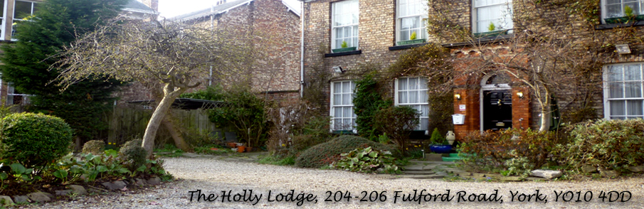
The Holly Lodge is conveniently located on the A19 (Fulford Road) one and a half miles towards the city centre from the junction with the A64 on the south side of York's outer ring road.
The maps below show our location from above and from street view. Both of these maps are interactive and can be navigated from this page.
For those of you using Satellite Navigation system, our postcode is YO10 4DD.
If you require any further directions or we can be of any assistance please do not hesitate to ring us on 07817 108389.
If for any reason you are having difficulty viewing the maps click the link directly below each one to view them in a separate window.
Map
This may take a few moments to load so please be patient
Click Here to Enlarge This Map
Street View
This may take a few moments to load so please be patient
Click Here to Enlarge This Map